
DAY /NiGHT 10: Spent the day relaxing at the Hyatt Regency in Prince George
DAY 11
Left the Hyatt Regency in Prince George after a hot breakfast around 10 AM. Headed to the local Walmart for some basics: ice, water, and some snack items that we could keep in our cooler: cheese, yogurt, grapes, and hummus. This allows us to not have to stop that often and at times has become our lunch and or dinner.
Alaska Highway Detour
Today is mostly a driving-day. We are taking route 16 and then switching over to route 37 since part of the Alaska Highway was closed as a result of the road collapsing south of Watson Lake, our original, intended route. Watson Lake is the beginning of the Alcan, the Alaska-Canada Highway, known simply as the Alaska Highway today. Our intention was to get a picture there now; we had driven in back in 1977 as that was main road that connected Alaska to the lower 48, as the continental U.S. is referred to in Alaska. We have since heard that the road is partially open and cars can get by, but it is slow-going. Hoping to hit it on the way back and take the traditional, touristy picture at the beginning of the Alaska Highway, mile-maker “mile 0.”
Twin Falls
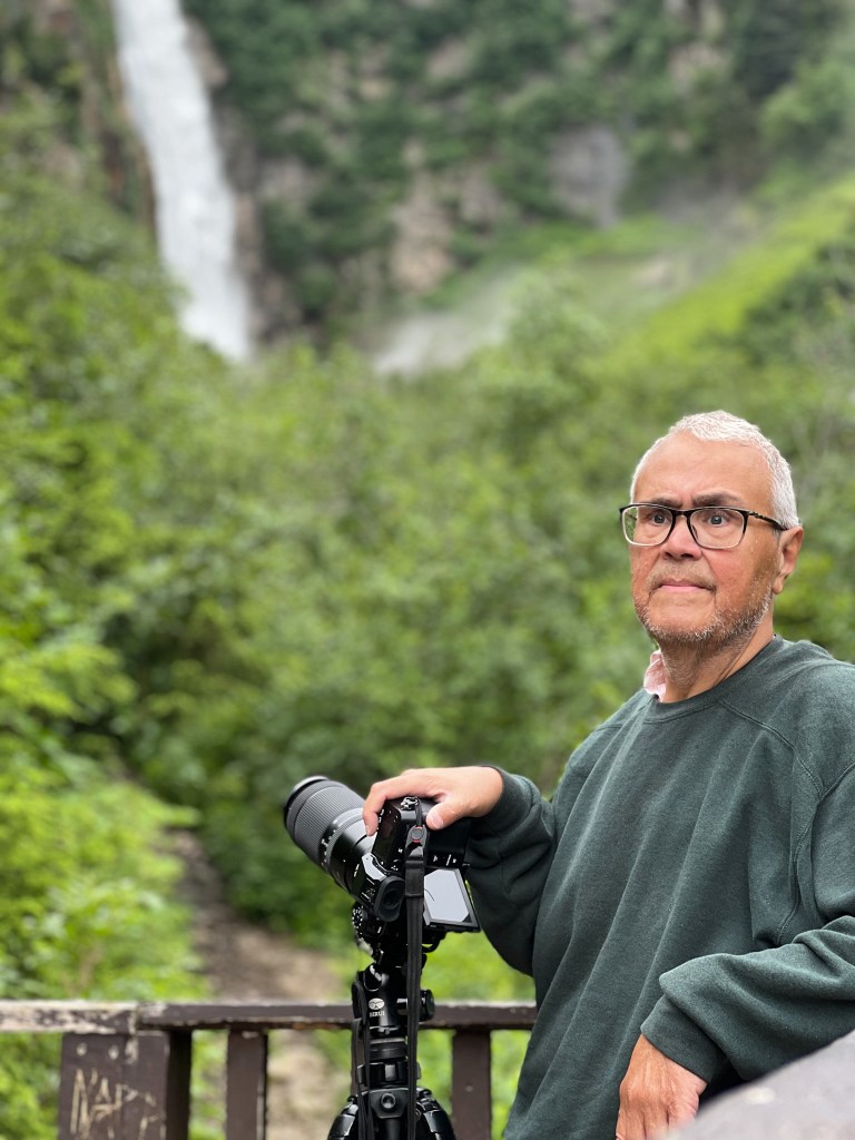
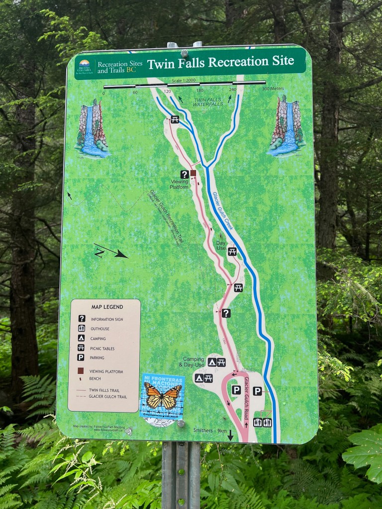
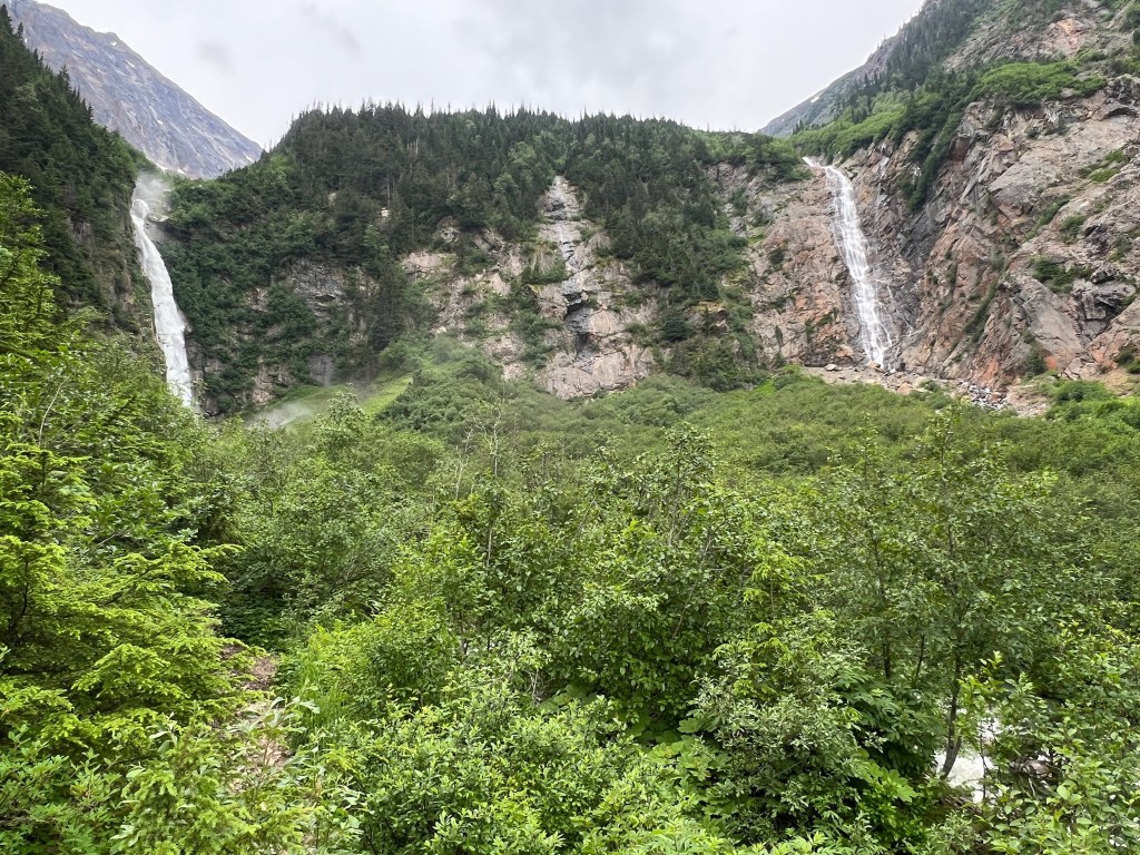
To get out and stretch our legs, we walked the trail at the Twin Falls recreation 5 ½ miles north of Smithers, British Columbia. There is a day-use camping area with picnic benches; wear lots of mosquito repellent. They are not shy and and you will find yourself having your blood sucked by a scourge of mosquitos. You could also hike to Glacier Gulch, but we only walked the fairly short but steep hike to the higher platform to view the falls. We spent about 30 minutes there as my husband loves to photograph waterfalls. Me, I love to contemplate about nature and enjoy the quiet time to reflect.

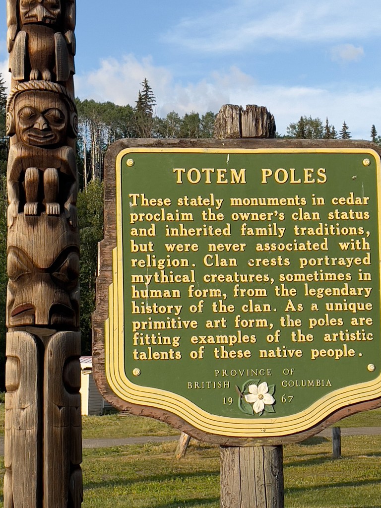
Totem Polls
Continued with driving for about an hour and half and stopped to see the Gitanyow totem poles. They are carved of cedar and “proclaim the owner;’s clan and family traditions,” according to the plaque.They are impressive because of the sheer number present. You will marvel at the craftsmanship of each piece and feel a close connection to the pieces. They were created and are displayed with indigenous pride, something I encountered in many of these westerly Canadian provinces.


NIGHT 11: Stopped and slept at Meziadin Lake.
DAY 12:
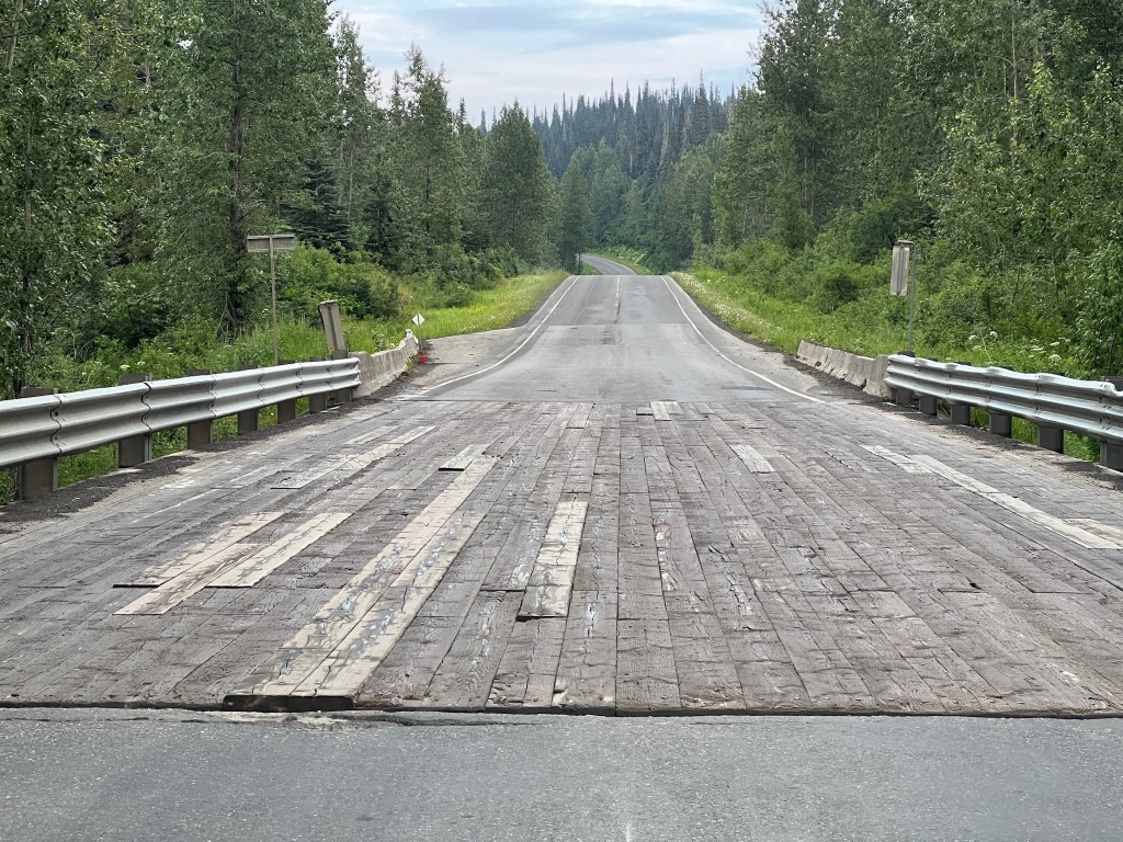
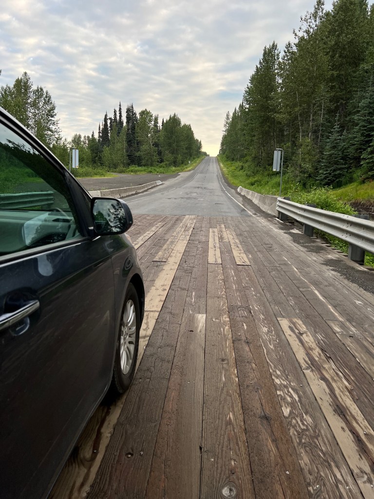
Left early as we woke up early 6 AM. Mostly traveling today and road pictures. Passed quite a few wood-decked bridges.
Highway of Tears
There is a 450 miles stretch of land on Highway 16 between Prince George and Prince Rupert, British Columbia where dozens of Canadian women, mostly indigenous, have disappeared, and it is referred to as “the highway of tears.” It’s is a long stretch of road lacking lighting and where hitchhiking is a way of life; public transportation is practically non-existent except for an occasional Greyhound bus that does not reach the remote communities. A memorial walk has become an annual event to bring attention to the media and other missing women cases. Alongside the road, reads a large billboard “Girls don’t hitchhike on the highway of tears.” A tragic reminder of what has happened and a warning to young girls who no longer hitchhike because they have heard the stories. We dove by in solemn silence thinking about the families left with no answers.

Continuing on route 16:
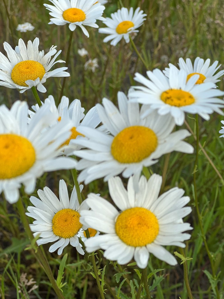
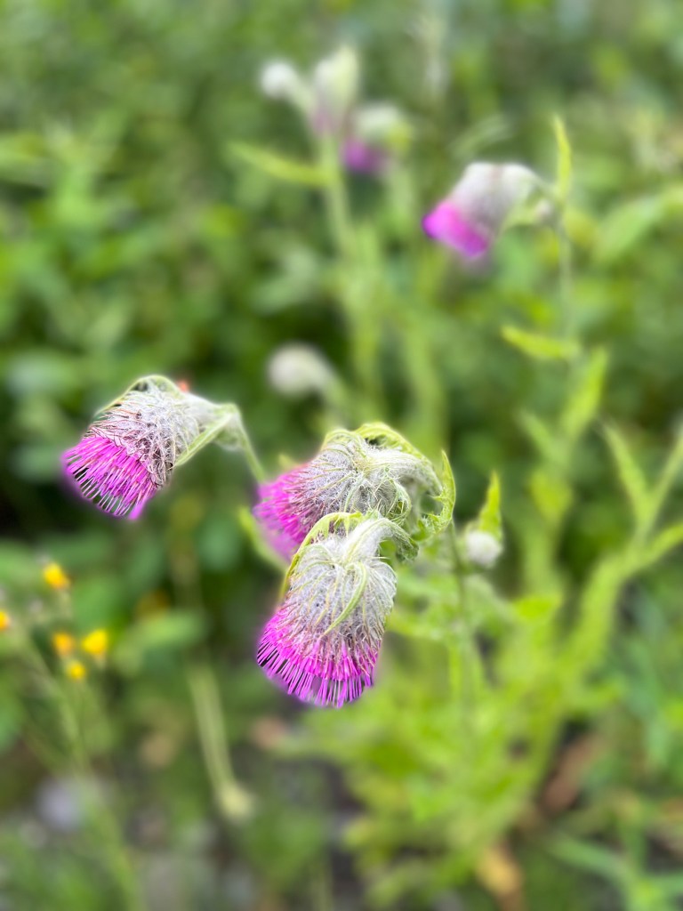
Clouds draped over mountains like winter scarves adorned the blues skies and flowers dotted the landscape. The scenery and the road called our attention today. Wood-decked bridges and metal grate bridges were a common sight. Road construction was another was in full swing in many places. Oh the joy of the roads in the north in the summer.


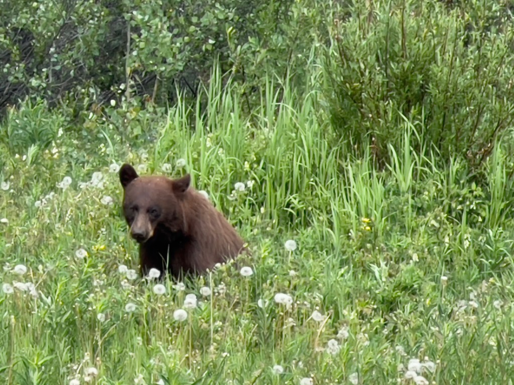
Ran into a another glitch on our travels. First thought it was nothing. Stopped for gas and their internet was down. So we drove on to find the next gas station. Side-note: did encounter a bear cub, mama had passed and iPhone cameras are just not fast enough, so that’s all I got. By hey, a bear is a bear, right?
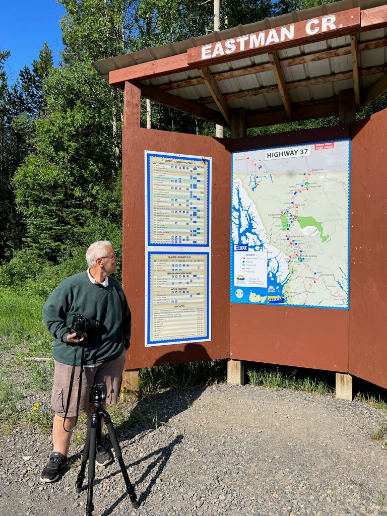
There is a rest stop dedicated to George Eastman of The Kodak conglomerate. He was an avid huntsman in this area. My husband is an avid photographer so I felt this picture was a must. (Mosquitos not pictured but trust me they were there.)
Unexpected Glitch:
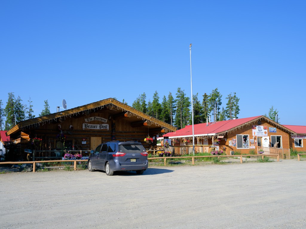
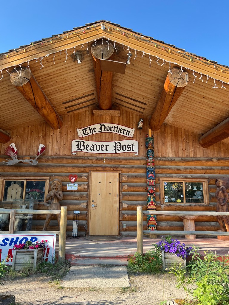
Found another gas station; turns out the glitch is a an entire province issue. It was reportered as “significant land erosion” that lead to the 12+ of disruption. All this while land flooding, wildfires , and highway closures loomed in the area. It was a moment of helplessness because of how dependent we have become on technology. No information could be googled nor could people communicate with worried family members, including ourselves. Twelve hours seemed like an eternity. We filled up with cash at Dave’s Lake gas station. It was cash only and many motorists and bikers were traveling with credit cards. With gas at over $6.00, the average vehicle could be looking at $70-80 for a fill-up. We had some cash, and we filled up with enough to get to the next gas station thinking this was just a brief outage and not aware of the actual severity. But when we entered the Yukon Territory and stopped at RV park at Nugget City to get gas, it was still cash-only. At this point, our cash funds were being depleted. Linda who managed the park and the Northern Beaver Post gift shop took our credit card information and did a manual hold.
Night 12:
We spend the night in our sleeping quarters, aka our van, after taking a wonderful shower. The night the temperatures kept rising and by 9 PM, the temperature was about 88 which created a haven for heat-loving mosquitos. It was not a restful night, but eventually we both succumbed to exhaustion and passed out right there in Nugget City RV Park.
DAY 13::
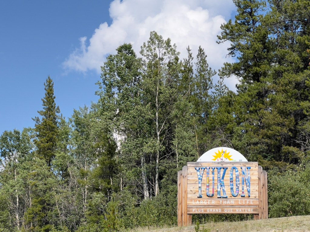
Around 8:30, upon waking up, my husband saw a woman on her phone and learned that the power was back on. We were not out of the woods yet because the power we had been told had come on for about 20 minutes the day before and then went down again. Immediately, we got gas right at the RV park, with me still in the back; my husband was taking no chances. Hightailed it out of the park and went to Watson Lake to a bank to take out more cash. It didn’t open until 9:30 (bankers’ hours) so we waited and successfully took out the maximum allowed by AMEX- $400. Keep in mind we were in the Yukon and gas was expensive. At this juncture, our thoughts were hovering between heading back home or continuing onward to Alaska.
Well, this blog would have needed a serious name change so reluctantly, my husband headed north. At that point we were totally playing it be ear to just how far our journey would take us, but we opted to at least hit Alaska, so we trudged along.
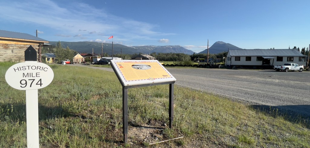
Watson Lake:
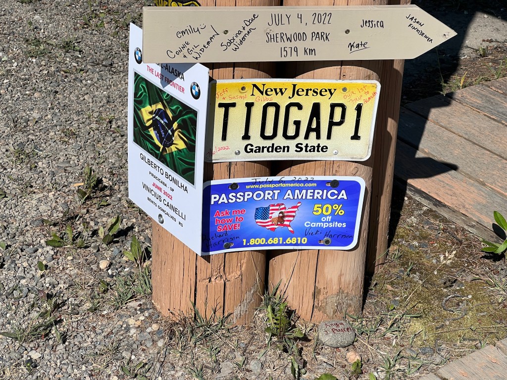
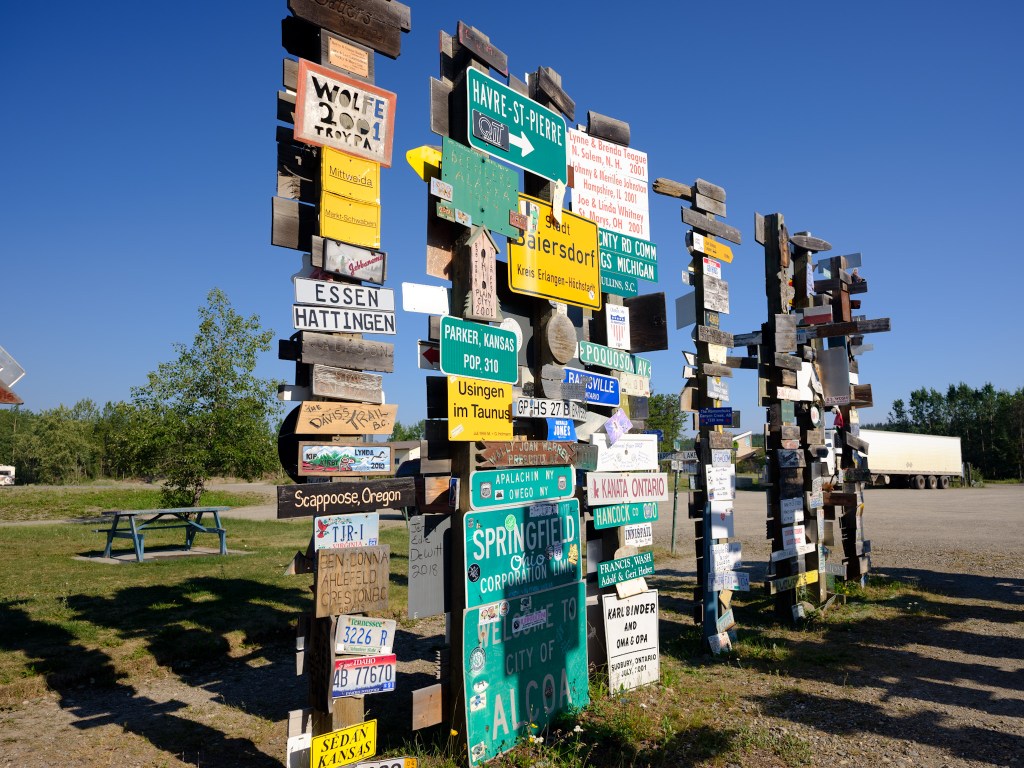
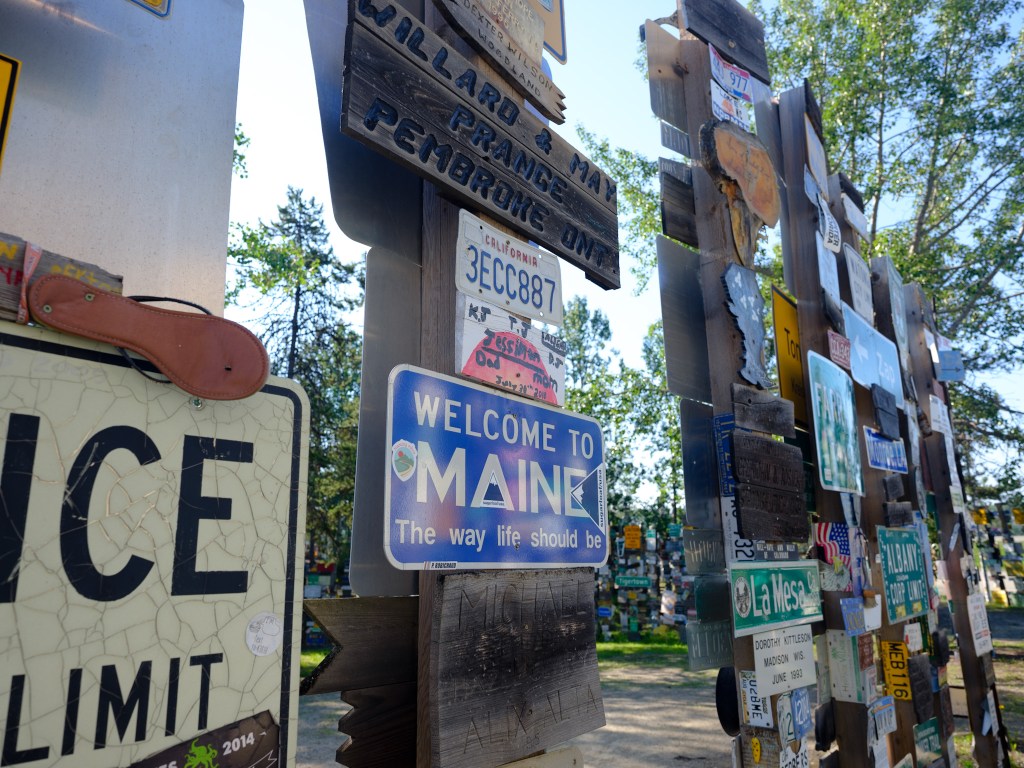
While waiting the half hour for the bank to open in Watson Lake, we visited the Sign Post Forest, a place we had been to previously in 1977; it had grown quite a bit. Signs of all sorts from all around the world hang on wooden poles. According to the Watson Lake Visitor Center, a U.S. soldier by the name of Carl K. Lindsey was the first person to place a sign there in 1942 while he was helping to construct the Alaska Highway. The sign was painted red and white and said, “Danville, Illinois 2,835 miles. The original sign has been has been lost to time. The 10,000th sign was added in 1990. Currently there are 77,000 signs. So it has grown quite a bit. Being from NJ., we searched to see if we were represented, and we were, at least twice. Take the time to look over the signs posted by people and see if your home state is represented; if not, rectify that immediately. Dont’ just snap the selfie; get out of the car, read the signs, and think about all the places people have come from.


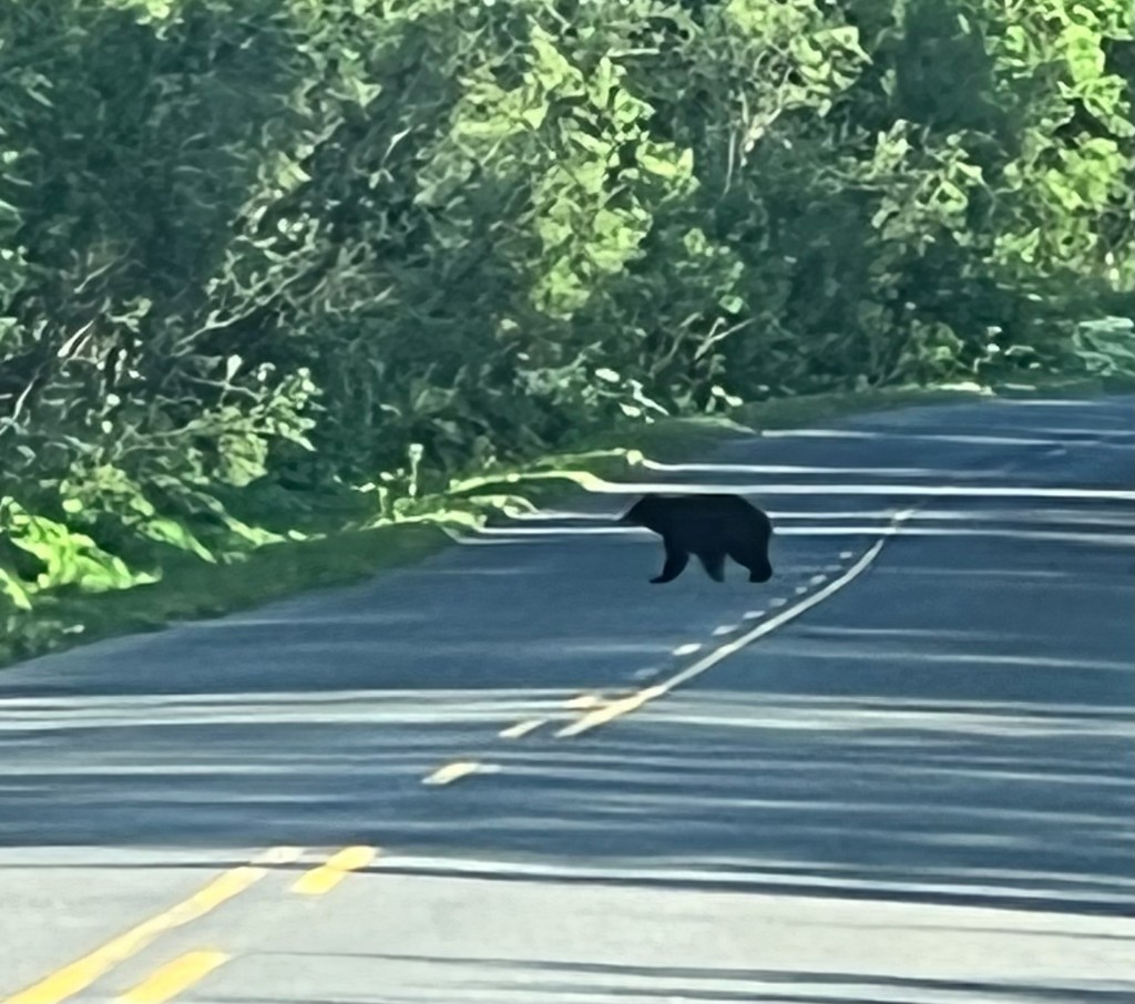
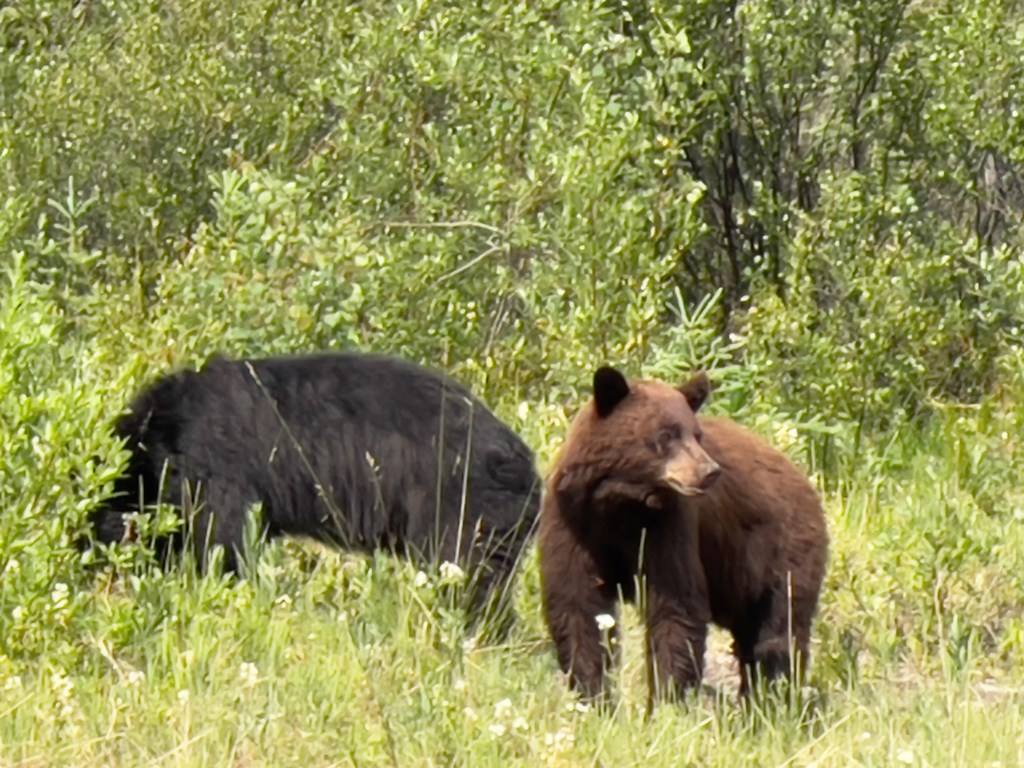
Bears
We encountered bears today. Though one was black-colored and one was brown-colored, they were black bears. Black bears can run the gamut of any hue from shades of lighter brown to darker black. You can distinguish them because black bears have no shoulder bump, straight profiles, and more prominent ears; unlike grizzly or brown bears which are larger and have a more dished profile. humps between their shoulders, and smaller round ears. We saw two together and they were busy munching the vegetation paying us no mind.


Visited the native village of Champagne which still had some old cabins. When the area boomed due to the gold rush that followed historic Indigenous trading trails, Champagne became a service center. As a result ,it experienced an economic boom, but as many new people arrived, illness crept its way into the village and almost wiped out the population. One family of 12 members lost 9 of its people to the epidemic. A First Nation people have stayed in the area to keep the community alive. Their presence is visible by trucks parked in front of homes. You can see the First Nation outlying communities rebuilding their heritage in other places. They are a strong, proud, resilient people proud of their heritage.
As we left Champagne, I spotted a moose. Again, iPhone cameras are not the quickest to open, zoom in, and focus. So I have a better image in my head than the one pictured here, but I saw a moose and here is the proof.

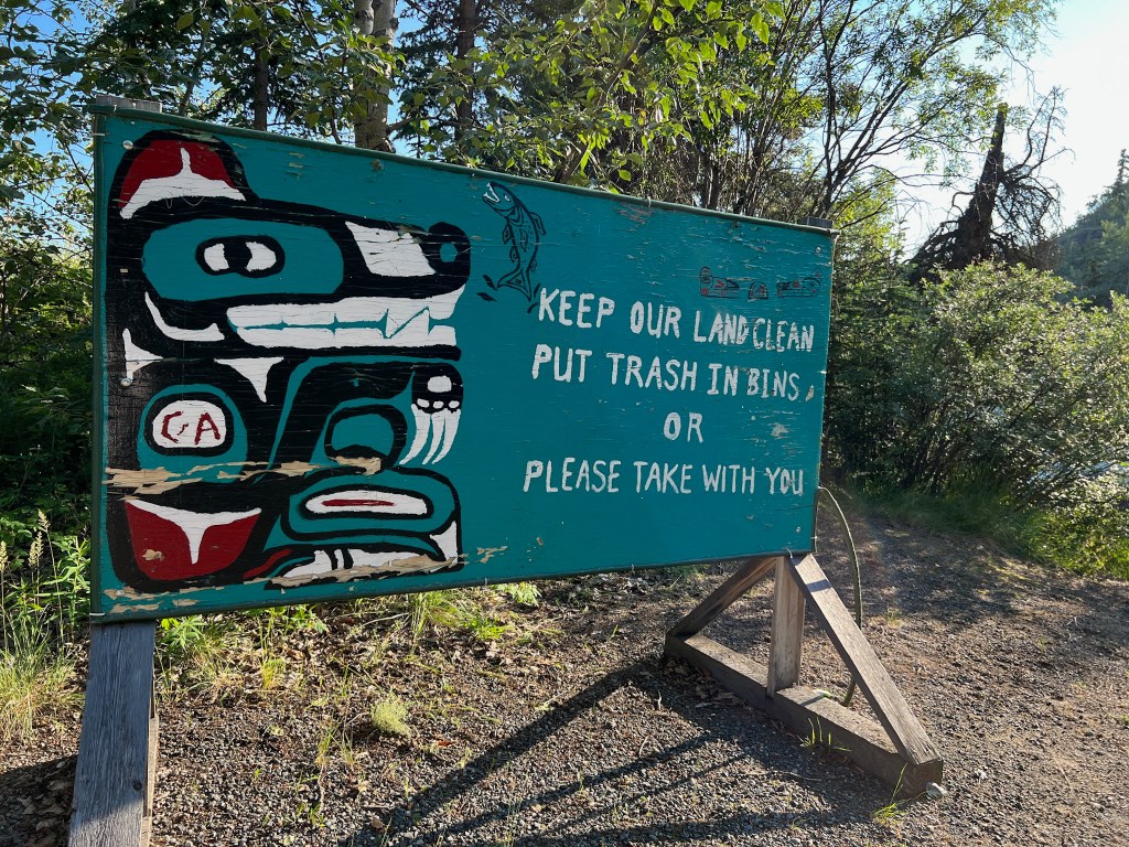
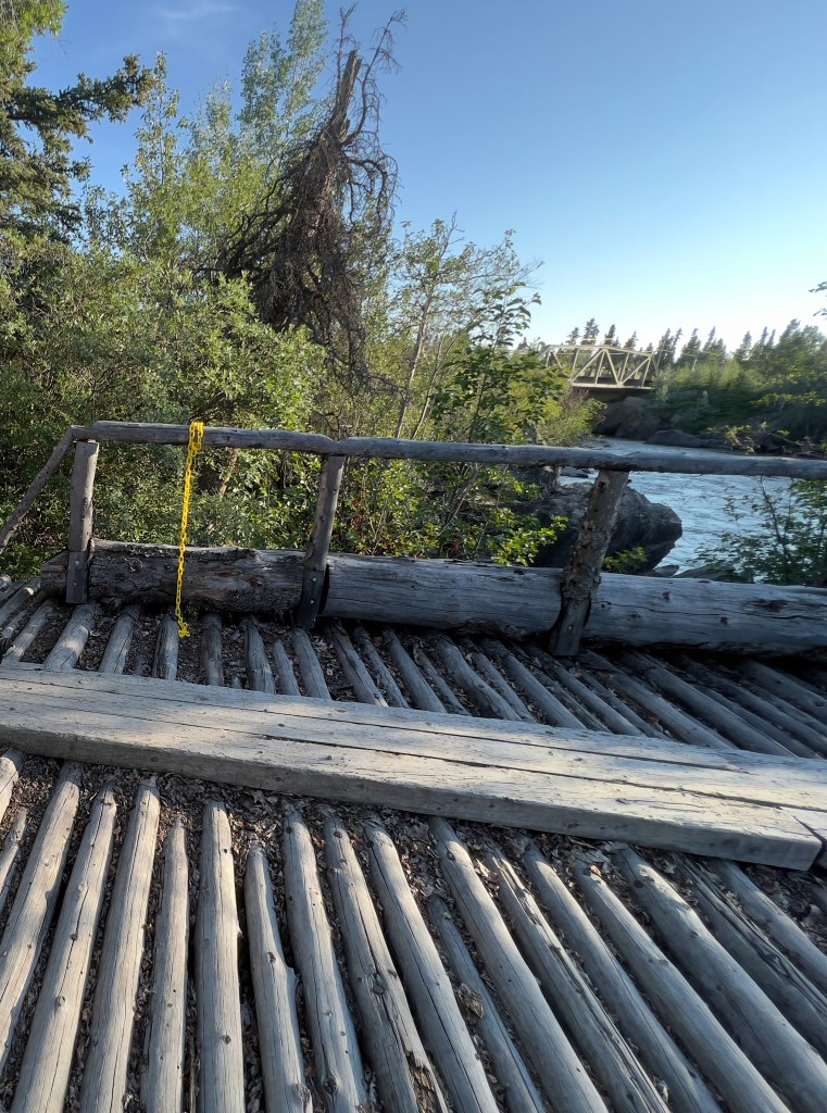
Night 13: Spent the night at Canyon Creek Bridge in a camp area that overlooked the old bridge. A sign posted read, “Keep our land clean. Put trash in bins or please take with you,” decorated with artwork from local First Nations artisans depicting their connective spirit with the land.

Leave a comment